Mesa Falls Marathon
Ashton, United States · July · Independent
Why people love it
- Net downhill from 1,870 m (6,135 ft) beside Warm River to Ashton at 1,601 m (5,253 ft).
- About 5.1 km (3.2 mi) of packed river trail, then forest and farmland views toward the Tetons.
- Small field of 73 to 167 finishers a year, so the course is never crowded.
- Finishers get a huckleberry shake coupon and an Idaho potato sack bag.
- Open entry at $85, with no sell-out.
Watch out for
- Marathon starts at 05:30 at 1,870 m (6,135 ft); thin air makes early pacing hard.
- A climb of about 91 m (300 ft) between 27.5 and 32 km (miles 17 to 20).
- The last 10 km (6 mi) has no shade, and highs reach 33 °C (91 °F).
- Open roads without traffic control; Ashton has few hotels, so lodging is 15 to 30 minutes away.
- Not a Boston qualifier.
Race
How racers feel about it, how well it is run, and how it treats a first timer. Counts for 28% of the overall score.
Toughness: Tough
- Racer satisfactionLoved4.3
RaceRaves 4.6 from 36 ratings, MarathonGuide 4.3 from 55. Runners love the scenery and small-town feel; complaints are a late hill, heat and the medal. · Medium confidence
- OrganizationWell run3.9
RaceRaves production 4.4, with buses, bag drop and food praised. Dings: too few start toilets, missing mile markers and an unstaffed aid station in 2024. · Medium confidence
- First timer friendlyDoable3.0
Net downhill helps, but the 05:30 start at 1,870 m (6,135 ft), heat, open rural roads and a late climb suit experienced runners. · Low confidence
Course traits, not part of the score
- PR potentialAverage3.0
A net loss near 269 m (882 ft), offset by altitude, heat and the climb at 27.5 to 32 km (miles 17 to 20). · Medium confidence
Course
Scenery, road surface, closures, and room to run. Counts for 20% of the overall score.
- Course scenerySpectacular4.5
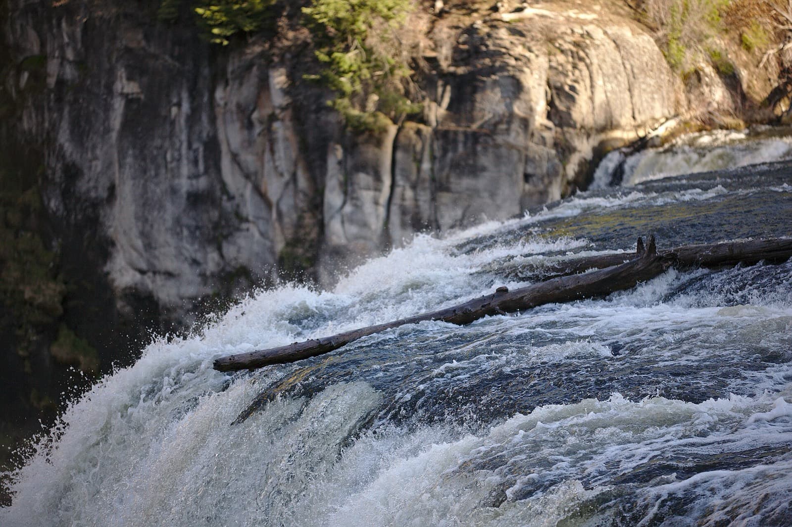
RaceRaves scenery 4.6. Warm River trail, Mesa Falls overlook, potato fields and Teton views; the last 10 km (6 mi) is open farmland. · Medium confidence
- Room to runRoomy3.9
About 150 marathoners spread along a long point-to-point course. The narrow river trail is the only likely pinch point. · Low confidence
- Road surfaceMixed3.0
Packed gravel, 5.1 km (3.2 mi) of rough river trail and pavement with a narrow shoulder. A 2023 runner called the early miles rough. · Medium confidence
- Road closuresMostly open1.8
Open rural roads with no traffic control per a 2024 reviewer, though drivers were courteous. · Medium confidence
Course traits, not part of the score
- Course flatnessRolling3.1
241 m (793 ft) of gain and 504 m (1,654 ft) of loss, in the rolling band. · Medium confidence
- Net downhillDownhill3.9
A net loss of about 269 m (882 ft) over 42.2 km (26.2 mi), a gentle drop. Not a Boston qualifier. · Medium confidence
Support
Crowds, aid stations, the start, and pacers. Counts for 20% of the overall score.
- Start logisticsSome waiting3.2
Heated school buses from Ashton, but reviewers report too few start toilets and bag-drop problems in 2022. A very early start. · Medium confidence
- Pacers and timingFew2.4
No pacer information found for the tiny field. Results are posted by My BEST Runs. · Low confidence
- Crowd supportSparse2.0
Small fields and little crowd support: a few locals, and the finish in Ashton where names are announced. · Medium confidence
- Aid stationsStandard3.2
Aid roughly every 3 km (2 mi) with praised volunteers, but water stops were intermittent and one was unstaffed in 2024. · Medium confidence
Conditions
Air temperature, how predictable the weather is, setting, and spectating. Counts for 14% of the overall score.
- WindMostly calm3.8
Wind at the start about 8 km (5 mi)/h (5 mph), and no wind complaints found. · Low confidence
- Air temperatureWarm or cool3.0
A pleasant 10 °C (50 °F) start, but finishes in 28 to 33 °C (83 to 91 °F) sun on exposed farmland. · Medium confidence
- Weather reliabilityReliable3.8
Dry July with consistently warm, clear days: highs of 30 to 33 °C (86 to 91 °F) five years running. · Low confidence
- Spectator friendlySome viewpoints2.5
Remote forest start and rural point-to-point. Spectators mostly see the finish in Ashton. · Low confidence
Course traits, not part of the score
- Low altitudeHigh altitude1.3
The course runs between 1,601 and 1,900 m (5,254 and 6,232 ft), above the 1,500 m (4,900 ft) line for most of the race. · High confidence
Stay and travel
Hotels, walkability, getting there, and the town around the race. Counts for 10% of the overall score.
- Hotel availabilitySells out early2.4
Ashton has few hotels; runners stay 15 to 30 minutes away in Rexburg, St. Anthony or Idaho Falls. · Medium confidence
- Hotel valueNormal3.3
Cabins and small-town motels. No price evidence found. · Low confidence
- WalkabilityMostly driving2.4
Buses take runners from Ashton to the start, so lodging elsewhere means a drive to Ashton and then a bus. · Medium confidence
- Travel easeAwkward2.3
Idaho Falls airport is about 80 km (50 mi) away, and Jackson or Bozeman are farther. A remote venue. · Medium confidence
- LogisticsSome complexity3.3
Quick packet pickup at the school, buses and a finish bag drop. Mixed record on toilets and mile markers. · Medium confidence
- Town and foodGood3.5
Free huckleberry shake coupon for finishers, Mesa Falls viewpoints and Yellowstone nearby. Ashton is tiny. · Medium confidence
Entry
How hard it is to get a place, and what you get for the fee. Counts for 8% of the overall score.
- Getting inOpen entry4.5
Open entry with a small field of 73 to 167 marathon finishers. The half was capped at 300 in 2025. · Medium confidence
- Value for moneyGood value3.9
The $85 fee includes a potato sack bag and shake coupon; the wooden medal drew criticism in 2019, 2022 and 2024. · Low confidence
Key facts
- Location
- Ashton, Fremont County, United States
- Typical month
- July
- Latest or next date
- 17 July 2027
- Organiser
- Independent
- Field size
- About 155 athletes
- First held
- 1997
- Distances
- 42.2 km (26.2 mi)
- Course type
- point-to-point
- Climbing
- 241 m (790 ft)
- Descent
- 504 m (1,650 ft)
- Start time
- 05:30
- Boston qualifier
- No
- Surface
- About 22.5 km (14 mi) paved, 5.1 km (3.2 mi) packed trail along Warm River, some packed gravel forest road, then pavement
- How to get in
- open
- Sells out
- Rarely
- Entry fee
- About $85
- Air temperature
- 10–31 °C (50–88 °F)
- Humidity
- Dry, about 76% at the start
- Altitude
- 1,750 m (5,740 ft)
- Nearest airport
- Idaho Falls Regional (IDA), 80 km (50 mi) away
- Where to stay
- Rexburg, St. Anthony, Ashton cabins and campgrounds
- Booking
- Ashton has very few hotels, so runners stay in Rexburg, St. Anthony or Idaho Falls, 15 to 30 minutes away, or in cabins and campgrounds within 30 minutes of the start. Distance to IDA is approximate.
What racers and reviewers say
- RaceRavesRaced 2019 to 2025 · aggregator · Positive
Rated 4.6 of 5 from 36 runners (19 marathon). Scenery is the star (Warm River, falls, Tetons). The mile 17 to 20 climb and shadeless farmland miles are the common complaints; swag and the wooden medal split opinion; a 2022 reviewer disliked changes after a director change.
- MarathonGuide reviewsRaced 2025 · aggregator · Positive
Rated 4.3 from 55 reviews; the 2025 page shows 5.0. Titled reviews describe a beautiful small-town marathon. USATF sanctioned, 129 finishers in 2025.
- FindMyMarathonRaced 2016, 2020 · aggregator · Positive
5.0 from 2 reviews, one calling it a favourite race ever. Page logs 241 m (793 ft) gain and 504 m (1,654 ft) loss, and marks it not a Boston qualifier.
“This is my favorite race I've ever run.”
- BibRaveRaced 2019 or earlier · aggregator · Positive
A runner calls it a beautiful, very small marathon with a low-key feel, quick packet pickup at the school and a visit to Mesa Falls afterwards.
- Laura King Edwards (blog)Raced 2023 · blog · Mixed
Half marathon on the same course. Rough trail for 5 to 6 km (3 to 4 mi) beside the river, a sharp climb to the road, then open farmland. Hot at 33 °C (91 °F) with intermittent water in the last miles and no shade.
“a scenic, challenging course with a small-town vibe”
Show 3 more
- The Happy Flammily (blog)Raced 2011 · blog · Positive
Half marathon on the point-to-point course through Targhee forest, along Warm River to Ashton City Park. Several aid stations with light food and drink; family at the finish.
- Marathon & Beyond: Jeff HorowitzRaced 2004 · article · Positive
Magazine essay from 2004. The race started about 1,860 m (6,100 ft) and dropped about 275 m (900 ft). Heated buses with toilets, one water stop at mile 8 (13 km), sparse spectators, a huckleberry shake coupon and wildlife sightings; the hill near mile 18 (29 km) was manageable. Details may have changed.
“erase the small-town charm from this race”
- East Idaho NewsRaced 2017 · article · neutral
21st annual race: hundreds registered from 32 states and three countries, 6:30 a.m. marathon start (optional 5 a.m.), start at Ashton Elementary. Race director says turnout is always good; first year drew 11 runners.
Raced Mesa Falls Marathon? Your notes on the course, conditions and logistics help the next athlete decide.
Sources
Pages we used for facts and ratings. See how we rate.
Training for Mesa Falls Marathon? Moku Coach builds your plan around race day.