Bighorn 100 Mile Endurance Run
Dayton, Wyoming · June · 100 mi
- Distance
- 100 mi (161 km)
- Out and back
- Climbing
- 6,248 m (20,500 ft)
- Mountain: 39 m per km (205 ft per mi)
- Overall cutoff
- 35 hours
- 21:00 per mi (13:03 per km) average
- Finish rate
- 79%
- of starters in 2025
Why runners love it
- Open entry with no qualifier; registration opens October 15 for the June race.
- Out-and-back over the Bighorn Mountains, with bacon at Kern's Cow Camp.
- Pacers allowed from mile 30 (48 km), one at a time; over-60 runners may be paced from the start.
- Hot food, medical checks and heated tents at the major stations.
- Course record fell to 17:58:03 in 2026.
Watch out for
- Mud and bog are common; 2017 to 2019 and 2023 were wet and slow.
- Sally's Footbridge crew access needs a high-clearance vehicle and 2.5 h of driving from Dry Fork.
- Cutoffs are strictly enforced: Jaws closes 19 h in, at mile 48 (77 km).
- Vehicles on Tongue Canyon Road mean disqualification; crews meet runners on foot or bike.
- Cell coverage is poor and live splits are not guaranteed.
Race
How runners feel about it, how well it is run, and the community around it. Counts for 25% of the overall score.
Toughness for its distance: Very tough
- Runner satisfactionLoved4.1
Reports from 2014 to 2026 praise volunteers, bacon at Cow Camp and the scenery; mud years and a few DNF accounts temper it. · Medium confidence
- OrganizationWell run3.9
Detailed rules, crew directions and drop bag page; the site is inconsistent about Jaws (mile 48 on the chart, 52 on the pacer page). · Medium confidence
- Community and vibeWarm4.3
Volunteer-run by the Sheridan community since 2002 as a conservation-linked event; the site stresses family and kindness and runners praise the volunteers. · Medium confidence
Support
Aid stations, crew access, drop bags and pacer rules. Counts for 25% of the overall score.
- Aid stationsGood4.0
About 20 aid visits over 100 mi (161 km), longest gap 8 mi (12.9 km), with hot food and bacon at the majors; remote stations are minimal. · Medium confidence
- Crew accessSome points2.8
Crew at the start, Dry Fork, Sally's Footbridge and Jaws, but about 2.5 h of driving between Dry Fork and Sally's on rough roads. · High confidence
- Drop bagsSome stations3.0
Bags at Dry Fork Ridge, Sally's Footbridge and Jaws, each reached twice, with out and in bags combined. · High confidence
- PacersMuch of the race4.0
One pacer at a time from Sally's Footbridge (mile 30 / 48 km (29.8 mi)), four exchange points; over-60s may be paced from the start. · High confidence
Course
Course marking, scenery, and how runners rate the trail itself. Counts for 15% of the overall score.
- Course markingClear4.2
Orange flagging, lime arrows and night glow sticks; elk sometimes eat flagging and crews replace it during the race. · Medium confidence
- ScenerySpectacular4.5
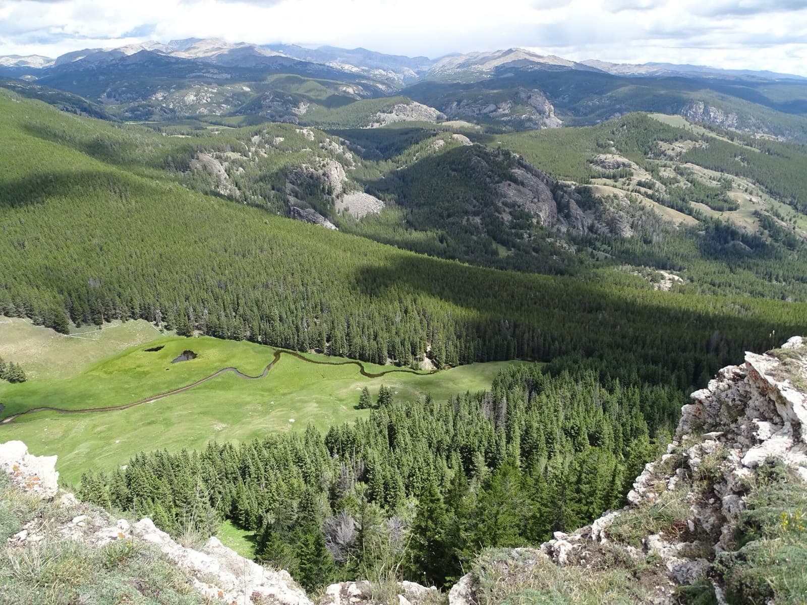
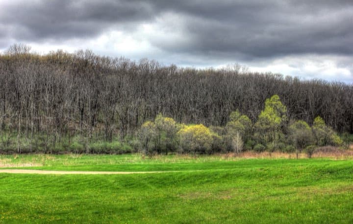
Limestone canyons, alpine meadows and a Wild and Scenic river corridor, up to 2,682 m (8,800 ft) at Jaws. · High confidence
- Trail experienceFine3.3
Mud and bog in most years, long steep descents, an exposed alpine stretch, and a runnable final 8 km (5 mi) of road. · Medium confidence
Course traits, not part of the score
- FootingTechnical2.1
The race counts 122 km (76 mi) of technical single-track, 26 km (16 mi) of jeep road and 13 km (8 mi) of gravel, plus mud and bog. · Medium confidence
- RunnabilityMixed2.7
Long grades, mud and a steep descent slow runners; one 2018 report took 6 h for 26 km (16 mi), but gravel and the final road run well. · Medium confidence
- ClimbingHilly1.9
Climbs 205 ft per mi (39 m per km), from the official elevation gain. · High confidence
Conditions
Race-day temperature and how predictable the weather is. Counts for 14% of the overall score.
- Race-day temperatureHarsh2.4
Canyon heat to 36 °C (97 °F) in one account, freezing nights above 2,400 m (8,000 ft), cold rain or snow in wet years. · Medium confidence
- Weather reliabilityUnsettled1.9
Volatile: 2017 deluge, 2019 mud and snow, a 2009 snow reroute (1.2 to 1.5 m (4.9 ft) / 4 to 5 ft), and 2020 cancelled. · High confidence
Course traits, not part of the score
- AltitudeElevated2.3
Start 4,275 ft (1,303 m), Jaws turnaround 8,800 ft (2,682 m) per the aid chart; runner reports mention bog near 9,000 ft (2,740 m). · High confidence
Cutoffs
How generous the overall and intermediate cutoffs are for the terrain. Counts for 13% of the overall score.
- Overall cutoffGenerous3.7
35 h for 100 mi (161 km) with 6,248 m (20,500 ft) of gain; about 79% finished in 2025. · Medium confidence
- Intermediate cutoffsReasonable3.4
Cutoffs at Dry Fork 6 h, Sally's 11.5 h and Jaws 19 h are strictly enforced, though most of the 2025 field cleared them. · Medium confidence
Intermediate cutoffs (2026)
| Where | Distance | Cutoff |
|---|---|---|
| Dry Fork Ridge outbound (mile 13.5) | 22 km (13 mi) | Fri 15:00 (6:00 elapsed) |
| Sally's Footbridge outbound (mile 30) | 48 km (30 mi) | Fri 20:30 (11:30 elapsed) |
| Jaws Trailhead turnaround (mile 48) | 77 km (48 mi) | Sat 04:00 (19:00 elapsed) |
| Sally's Footbridge inbound (mile 66) | 106 km (66 mi) | Sat 10:00 (25:00 elapsed) |
| Dry Fork Ridge inbound (mile 82.5) | 133 km (83 mi) | Sat 15:00 (30:00 elapsed) |
| Upper Sheep Creek inbound (mile 87.5) | 141 km (87 mi) | Sat 16:30 (31:30 elapsed) |
| Tongue River Trailhead (mile 94.8) | 153 km (95 mi) | Sat 18:45 (33:45 elapsed) |
| Scott Park finish (mile 100) | 161 km (100 mi) | Sat 20:00 (35:00 elapsed) |
Not part of the score
- First timer friendlyDemanding2.4
No qualifier, but mud, remote aid, 6,248 m (20,500 ft) of gain and weather swings; about 79% finished in 2025. · Medium confidence
- Getting inUsually open4.2
Open online registration opening October 15, no qualifier; only the 18 mi race is shown sold out. · Low confidence
Stay and travel
Getting there, places to stay, race-day logistics and value. Counts for 8% of the overall score.
- Travel easeAwkward2.4
Sheridan County airport has flights from Denver; Billings is 209 km (130 mi) away and Dayton is about 30 minutes beyond Sheridan. · Medium confidence
- Places to stayBook early3.2
Partner hotel in Sheridan, campgrounds and cabins in Dayton, a community center gym and mountain lodges; limited in race week. · Medium confidence
- LogisticsFiddly2.4
Start and finish are 5.6 km (3.5 mi) apart with a free bus; crew roads need high clearance, and no vehicles on Tongue Canyon Road. · Medium confidence
- ValueGood value3.5
$475 plus about $30 in fees for 2027 registration; includes a start bus, aid, buckle and a free meal and hoodie reported in 2026. · Low confidence
Key facts
Checked against the 2026 edition on the official race site. Rules change, so confirm before you enter. Blank means the race does not publish it.
- Location
- Dayton, Wyoming, United States
- Region
- Mountain West
- Typical month
- June
- Latest or next date
- 19 June 2026
- Start time
- 09:00
- First held
- 2002
- Distance
- 100 mi (161 km)
- Course shape
- Out and back
- Surface
- Trail: Per the official page: 76 mi (122 km) of technical single-track, 16 mi (26 km) of rugged two-track jeep road and 8 mi (13 km) of gravel road
- Footing
- Official: 20,500 ft (6,248 m) of ascent and 20,750 ft (6,325 m) of descent. The Jaws turnaround is at about 8,800 ft (2,682 m); runner reports mention bog near 9,000 ft (2,740 m). Stretches of 18 mi (29 km) of technical trail are the only way in and out; the site cites steep climbs, difficult downhills, shoe-sucking mud and relentless technical terrain.
- Elevation gain
- 6,248 m (20,500 ft)
- Climbing rate
- 39 m per km (205 ft per mi)
- High point
- 2,682 m (8,800 ft)
- Overall cutoff
- 35 hours
- Pace to make the cutoff
- 21:00 per mi (13:03 per km)
- Cutoff notes
- From the official 100 mile aid station chart (Friday 09:00 start). The rules say cutoffs are strictly enforced; a 2019 blog reports an extra hour after mud and snow. The chart does not say if times run from the start, so clock times are used. The pacer page puts Jaws at mile 52; the official chart puts it at mile 48 of 100.
- Aid stations
- 20
- Longest gap between aid
- 13 km (8.0 mi)
- Drop bags
- Some stations
- Crew access
- Some points
- Pacers
- Allowed from Sally's Footbridge outbound (mile 30), one at a time
- Support notes
- Station count is the number of stops on the official chart including repeated passes (10 outbound, 10 inbound including the home stretch). Longest gap 8 mi (12.9 km): Spring Marsh to Jaws. Majors with hot food and medical checks: Dry Fork Ridge, Sally's Footbridge, Jaws. Drop bags at Dry Fork Ridge, Sally's Footbridge and Jaws; combine out and in bags. Crew: start, Camp Creek Ridge (out only), Dry Fork Ridge, Sally's Footbridge (2.5 h drive, high clearance, 0.75 mi/1.2 km walk), Devil's Canyon Road crossings, Jaws, and from Tongue River Trailhead to the finish on foot or bike only; vehicles on Tongue Canyon Road mean disqualification. Pacer exchange points: Sally's out (30), Jaws (48), Sally's in (66), Dry Fork in (82.5).
- Water crossings
- A few
- Water notes
- Creek fords and boggy sections; Little Bighorn river road crossings are on the crew route. The number of runner-wading crossings is not stated.
- Night running
- Most runners run through one night
- Mandatory gear
- A collapsible cup (supplied in the packet) or a bottle is required to start; the drop bag guidance says take lights, long sleeves and pants out of Sally's Footbridge. A full mandatory gear list was not found.
- Entry
- Open
- Entry fee
- About $475
- Entry notes
- Registration through itsyourrace opens October 15 for the following June. The 2027 page shows $475 (plus $30.25 fees) for the 100 mi and states only the 18 mi as sold out. Entries are non-transferable. Field size and qualifier status for races such as Western States are not stated on the official site. UltraRunning reports 269 starters in 2026.
- Finish rate
- 79% of starters in 2025
- Weather notes
- The site warns of extreme, ever-changing mountain conditions. Reports: 36 °C (97 °F) in Tongue Canyon, freezing nights, and heavy mud and snow in 2017 to 2019.
- Nearest airport
- SHR (Sheridan County)
- Stay notes
- Sheridan is about 30 minutes from Dayton. Other airports (rental car needed): Billings 130 mi (209 km), Gillette 100 mi (161 km), Casper 140 mi (225 km). Partner hotel Best Western Sheridan Center; Tongue River Community Center camping in Dayton; Foothills Campground, Lazy R, Sheridan KOA; mountain lodges (Bear Lodge, Arrowhead, Elk View).
- Course record (men)
- 17:58:03 Bo Shelby (2026)
- Course record (women)
- 21:02:37 Nicole Laughton (2025)
Races like this
See every race ranked by likenessClosest on distance, course shape, climbing, footing, region and season.
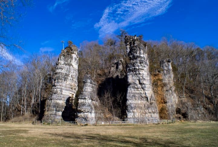
Mount Solon, VA
Also 100 mi · Out and back · Similar climbing
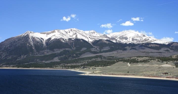
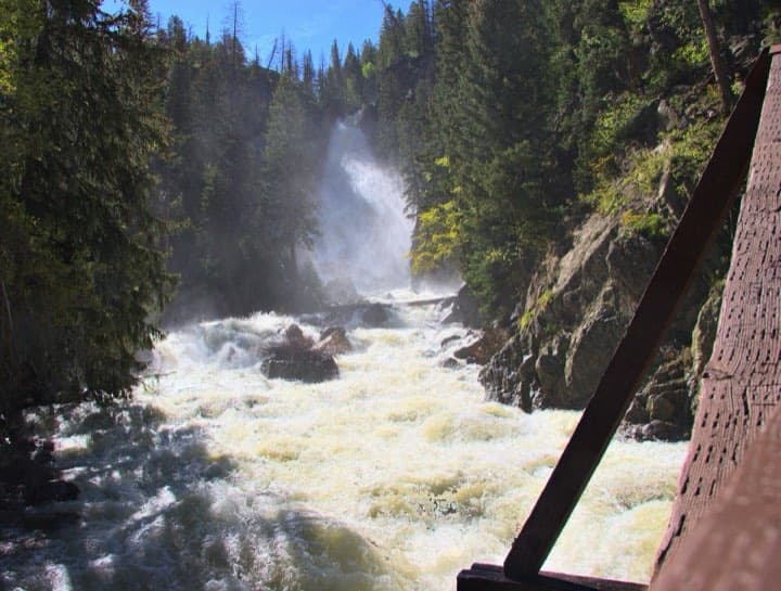
Steamboat Springs, CO
Also 100 mi · Similar climbing · Also in the Mountain West
What runners and reviewers say
- Gingerbread Man Running (Bighorn 100 2026)Raced 2026 · blog · Positive
A 29:03 finish in 54th. He ran with no crew or pacer, used drop bags and aid, and found canyon sun glare, mud on the climb to Jaws, an exposed stretch above 2,440 m (8,000 ft) and a 1,220 m (4,000 ft) service-road descent. Cell coverage was almost absent and some aid stations are horse-packed. He guessed about 300 starters and 175 finishers, which we could not verify; UltraRunning reports 269 starters.
“Whatever happened out there, I'd have to be the one to solve it.”
- iRunFar (Andy Jones-Wilkins)Raced 2017 · article · Mixed
A 2017 report that began at about 16 °C (60 °F) and dry before rain on the 18 mi (29 km), 5,000 ft (1,520 m) climb to the turnaround turned the trails to slick mud and left runners wet and cold. The author fell and concussed himself near mile 63 (101 km), was held by medics for an hour and still finished. Many dropped at the heated turnaround tent.
“This crap is slicker than snot on a doorknob.”
- Semi-Rad (Brendan)Raced 2019 · blog · Positive
A 32.5 h finish in a muddy, snowy year; the race directors gave everyone an extra hour. His crew met him at miles 30 and 66 and a friend paced the last stretch. Heated tents at Jaws, quesadillas and pizza, and an Airbnb in Sheridan 30 minutes from the start. The worst mud and icy water came between miles 43 and 51 (69 and 82 km (51 mi)).
“The mud of the Bighorn Mountains is not sticky.”
- Team RunRun (Matt Urbanski)Raced 2018 · blog · Positive
A 23:42 finish in 9th place through rain, two hailstorms, lightning and fog. A 16 mi (26 km) stretch took six hours in heavy mud. Footbridge crew access needs a high-clearance vehicle and many driving hours, volunteers were friendly, snacks plentiful but substantial food limited for a vegan; he rated the race five stars.
“The mud! I've never seen anything like it!”
- Team RunRun (Dandelion Dilluvio-Scott)Raced 2023 · blog · Positive
A 28:34 finish (58th overall, 6th woman) after weeks of daily rain left continuous mud. Crew access was only at Jaws and Dry Fork and her crew paced the final 18 mi (29 km). She describes mostly technical primitive trail with a 5 mi (8 km) uphill road, aid with Tailwind and bacon from wranglers, and about 20,000 ft (6,100 m) of gain.
“Expect mud and embrace the mud!”
Show 4 more
- Runblogger (David Henry)Raced 2014 · blog · Positive
A first 100 on a hot day in the mid 80s °F (about 29 °C (84 °F)) with lightning and rain near Jaws. He faced a nearly 4,000 ft (1,220 m) climb, a muddy 5,000 ft (1,520 m) night descent, a climb to about 9,000 ft (2,740 m) and limited crew points; his mother crewed and paced the last 18 mi (29 km). Many runners dropped at Footbridge.
“I knew there was nothing left to do but get going”
- Trail Runner MagazineRaced 2017 · article · Mixed
In 2017, about 12 hours of heavy rain turned the course into deep mud; usual conditions are 38 °C (100 °F) days and freezing nights. Record numbers of runners dropped from hypothermia and falls, and four runners tied for first at just over 21:30, crossing hand in hand.
- 100 Miles substackblog · Mixed
A DNF account from a first Bighorn 100: a limping ankle by sunrise, a boggy swamp section above 8,500 ft (2,590 m) and 36 °C (97 °F) in Tongue Canyon. He had 15 minutes to leave Sally's Footbridge before the cutoff and dropped when a medic pressed on his shin; finding a drop bag at Jaws took time.
“I failed my friend. I could have done more.”
- Wabash College (Greg Redding)Raced 2009 · article · Positive
A professor's first 100 in 2009, finished in about 31 h after reading a magazine review that discouraged first-timers. About 107 runners started; doctors weighed runners at stations and 22 aid stations were used. Course climbed over 17,500 ft (5,330 m) and runners warned of 38 °C (100 °F) canyon heat and freezing nights. Older edition, differently routed.
Ran Bighorn 100 Mile Endurance Run? Your notes on the footing, cutoffs and aid stations help the next runner decide.
Sources
Pages we used for facts and ratings.
Training for Bighorn 100 Mile Endurance Run? Moku Coach builds your plan around race day.