Laurel Highlands Ultra 70.5 Mile
Ohiopyle, Pennsylvania · June · 70.5 mi
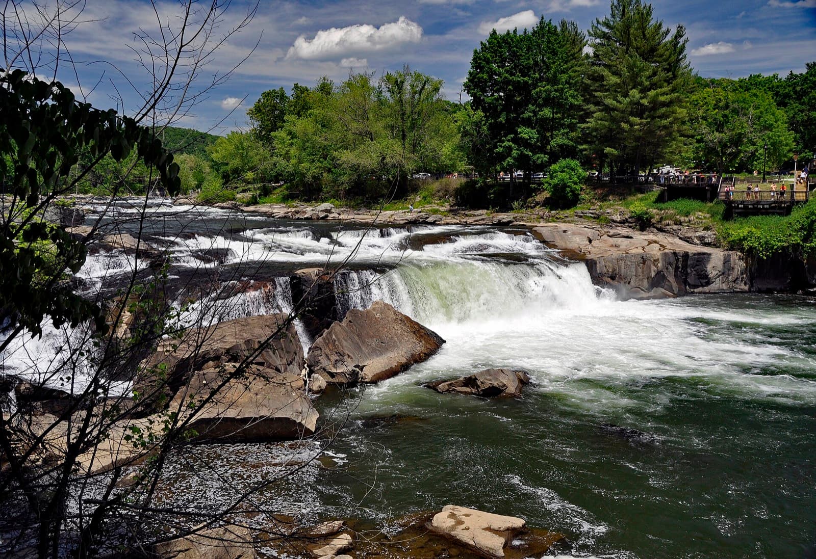
- Distance
- 70.5 mi (114 km)
- Point to point
- Overall cutoff
- 22 hours
- 18:42 per mi (11:37 per km) average
- Finish rate
- 63%
- of starters in 2016
Why runners love it
- Point-to-point 113.5 km (70.5 mi) along the Laurel Highlands Hiking Trail, held since 1980.
- Drop bags allowed at all aid stations and the finish, plus a free pre-race dinner.
- Pacers from Route 30 at mile 46.4 (74.7 km), one at a time.
- Yellow blazes and stone mile markers on a permanent trail.
- Mountain laurel bloom and rock ledges in June.
Watch out for
- Rocks, roots and boulders throughout; the first 31 km (19 mi) are the roughest.
- Gaps up to 18.7 km (11.6 mi) between stations; carry at least two bottles.
- Strict checkpoint cutoffs inside the 22 h limit; the times are not published online.
- June humidity above 90% and thunderstorms; light needed by 20:30.
- Finish-line bus to the start leaves at 03:30; no overnight parking at the start.
Race
How runners feel about it, how well it is run, and the community around it. Counts for 25% of the overall score.
Toughness for its distance: Very tough
- Runner satisfactionLoved4.0
Praise from a 2025 podcast and short relay reviews, but few full 113.5 km (70.5 mi) solo reports exist, so evidence is thin. · Low confidence
- OrganizationWell run3.9
Free pre-race dinner, finish-line bus and a detailed race page after 47 runnings; aid is low key and section cutoff times are not published. · Medium confidence
- Community and vibeWarm4.0
Hometown feel with family teams, relays and returning volunteers, but few runners have written about the atmosphere. · Low confidence
Support
Aid stations, crew access, drop bags and pacer rules. Counts for 25% of the overall score.
- Aid stationsStandard2.9
8 stations over 113.5 km (70.5 mi) with gaps up to 18.7 km (11.6 mi); a 2013 runner called the aid low key. · Medium confidence
- Crew accessSome points3.0
Several road crossings with designated parking only; station 8 has no crew access and parking infractions can mean disqualification. · Medium confidence
- Drop bagsMany stations4.2
The race allows drop bags at all stations and the finish, though station 8 bags are not returned. · Medium confidence
- PacersLate race3.4
One pacer at a time from mile 46.4 (74.7 km), covering about 39 km (24 mi) of the course. · High confidence
Course
Course marking, scenery, and how runners rate the trail itself. Counts for 15% of the overall score.
- Course markingClear4.3
Yellow blazes and stone mile markers on a permanent trail; a relay runner praised the marking, though little else is written. · Medium confidence
- SceneryBeautiful4.1
Mountain laurel bloom, rock ledges and forest canopy; reports call the trail beautiful, though it is mostly under trees. · Medium confidence
- Trail experienceGreat3.6
Rough first 31 km (19 mi) and rocky almost throughout; runners like the trail but few reports describe the full race. · Low confidence
Course traits, not part of the score
- FootingTechnical1.7
Rocks, roots, boulders and mud for most of 113.5 km (70.5 mi); 2025 runners called it very rocky throughout. · Medium confidence
- RunnabilityMixed2.6
Steep early climbs force hiking, some stretches are runnable, and the last 16 km (10 mi) are easier. · Medium confidence
- ClimbingRolling hills3.0
Gain not official; 2,670 to 3,350 m (10,990 ft) over 113.5 km (70.5 mi) is about 24 to 30 m (98.4 ft) per km (125 to 155 ft per mi). · Low confidence
Conditions
Race-day temperature and how predictable the weather is. Counts for 14% of the overall score.
- Race-day temperatureWarm or cold2.9
June highs of 21 to 30 °C (70 to 86 °F) with humidity above 90% reported in 2025. · Medium confidence
- Weather reliabilityVariable2.6
The race page warns of cold, drenching thunderstorms; 2022 had downpours and mud. · Medium confidence
Course traits, not part of the score
- AltitudeLow3.8
A third-party route stat gives a high point near 904 m (2,966 ft); the race does not publish one. · Low confidence
Cutoffs
How generous the overall and intermediate cutoffs are for the terrain. Counts for 13% of the overall score.
- Overall cutoffNormal2.9
22 h for 113.5 km (70.5 mi) of rocky trail, 2,700 to 3,400 m (8,800 to 11,000 ft) of climb; 63% finished in 2016. · Medium confidence
- Intermediate cutoffsReasonable3.2
Strict checkpoint cutoffs exist but the times are not published; a record 132 finished in 2024, so they may pull few runners. · Low confidence
Not part of the score
- First timer friendlyDemanding2.3
Long, rocky and humid, with the hardest running in the first 31 km (19 mi); two guests nearly dropped in 2025. · Low confidence
- Getting inUsually open3.5
210 places released in three batches on UltraSignup with a waitlist; open entry, but how fast it sells out is not known. · Low confidence
Stay and travel
Getting there, places to stay, race-day logistics and value. Counts for 8% of the overall score.
- Travel easeFair2.6
Rural southwestern Pennsylvania and the race lists no airport; point-to-point travel adds a 03:30 bus. · Low confidence
- Places to stayBook early3.1
Ohiopyle is a small resort town and the race gives few lodging details, so book early. · Low confidence
- LogisticsFiddly2.4
Point to point: park at the finish, ride a 03:30 bus to the start, no overnight parking at the start. · High confidence
- ValueGood value3.5
The entry fee was not found online; a free pre-race dinner, finish-line bus and drop bag service are included. · Low confidence
Key facts
Checked against the 2026 edition on the official race site. Rules change, so confirm before you enter. Blank means the race does not publish it.
- Location
- Ohiopyle, Pennsylvania, United States
- Region
- Northeast US
- Typical month
- June
- Latest or next date
- 12 June 2027
- Start time
- 05:30
- First held
- 1980
- Distance
- 70.5 mi (114 km)
- Course shape
- Point to point
- Surface
- Trail: Single track on the Laurel Highlands Hiking Trail, yellow blazed with stone mile markers; about 0.5 mi (0.8 km) of road at the start and a gas line dirt road near mile 62 (100 km), per a 2013 report.
- Footing
- The official pages publish no gain. Third-party figures range from about 2,670 m (8,760 ft) on Trail Run Project to about 3,350 m (11,000 ft) per runners and the UltraRunning calendar. Rocks, roots and mud; the first 31 km (19 mi) are the roughest.
- Overall cutoff
- 22 hours
- Pace to make the cutoff
- 18:42 per mi (11:37 per km)
- Cutoff notes
- 22 h overall (finish by 03:30). Five sections with a checkpoint at the end of each; the official page says strict cutoffs apply at each but does not publish the times, so none are recorded.
- Aid stations
- 8
- Longest gap between aid
- 19 km (12 mi)
- Drop bags
- Most stations
- Crew access
- Some points
- Pacers
- Allowed from Route 30 at mile 46.4 (74.7 km), one at a time
- Support notes
- Stations at mile 11.6 (Maple Summit), 19.3 (Rt 653), 26 (Seven Springs), 32.3 (Rt 31), 39.1 (Lynn Run), 46.4 (Rt 30, drop bag), 57.1 (Rt 271, drop bag) and 62 (gas line road, no crew). First gap 11.6 mi (18.7 km), other gaps up to 10.7 mi (17.2 km) (official miles; gaps derived). Runners must carry at least two water bottles. Crew use designated parking only; infractions can mean disqualification. Official drop bag text says bags are allowed at all aid stations and the finish, but bags for station 8 are not returned.
- Water crossings
- A few
- Water notes
- Creek crossings and mud mentioned in third-party route notes; not on the official page.
- Night running
- Some
- Mandatory gear
- Flashlight with spare batteries needed by 20:30 (not required of frontrunners); race number visible on the front; at least two water bottles; dress for thunderstorms.
- Entry
- Open
- Field size
- About 210 runners
- Finish rate
- 63% of starters in 2016
- Air temperature
- 11–30 °C (52–86 °F)
- Weather notes
- Official page lists June 13 highs and lows over 2022-2026 of 70 to 86 F (21 to 30 C) and 51 to 66 F (11 to 19 C), and warns of cold drenching thunderstorms.
- Stay notes
- Pre-race dinner Friday. Start parking at Ferncliff Natural Area; no overnight parking. Race-morning bus from the finish at Rt 56 departs 03:30, the only shuttle. Camping and lodging details were not verified.
- Course record (men)
- 10:43:34 (Courtney Campbell, 1998)
- Course record (women)
- 12:51:20 (Deanna Doane, 2025)
Races like this
See every race ranked by likenessClosest on distance, course shape, climbing, footing, region and season.
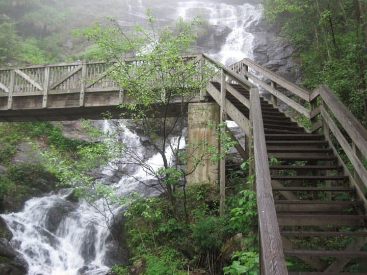
Blairsville, GA
Also 100K · Point to point or one big loop · Also in the Eastern US

Natural Bridge Station, VA
Also 100K · Point to point or one big loop · Also in the Eastern US
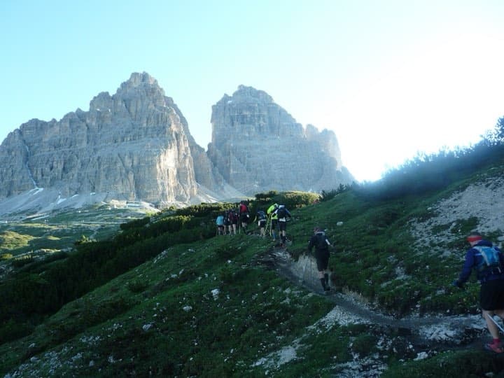
Cortina d'Ampezzo, Italy
Also 100K · Point to point or one big loop · Similar footing
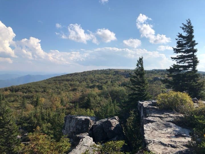
Davis, WV
Point to point or one big loop · Similar footing · Also in the Eastern US
What runners and reviewers say
- Hobby Jogger Podcast E47Raced 2025 · podcast · Mixed
Two runners recount the 2025 race: very rocky throughout, first 8 mi (13 km) hardest with 2,500 ft (760 m), over 90% humidity and slick rocks after overnight rain. Volunteers and a crew helped; one dropped at mile 46 (74 km).
- Trailer Trash forum, XtremeTaperRaced 2013 · forum · Positive
Finished in 16:48 on a cool, misty day. Describes single track with stone mile markers, low-key aid with gaps over 11 mi (18 km), drop bags only at Rt 30 that year, and unsupported running with the finish bus.
- Trail Run Project, Kevin KetchmanRaced 2015 · article · Mixed
Route write-up rated very difficult: roughest first 19 mi (31 km), rocks, boulders, roots and creek crossings, about 8,760 ft (2,670 m) of climb and relief only in the last 10 mi (16 km).
- Weeviews, Laurel Highlands UltraRaced 2022 · aggregator · Positive
Eleven mostly 2022 relay and 50K reviews averaging 5 of 5: beautiful, challenging trail, strong organization and marking, thunder, downpours and mud one year.
- iRunFar, Bryon Powell (2007 preview)Raced 2007 · article · Positive
Preview calling the trail among the most beautiful and runnable he had seen in the East, thick canopy and humid; finishing was no done deal. Old, direction and details may differ.
Show 1 more
- Official race pages (Redpoint)Raced 2026 · article · Mixed
Official source for facts rather than a review: 22 h limit, 8 stations, 86 of 137 finishers in 2016, relay and course records, shuttle details.
Ran Laurel Highlands Ultra 70.5 Mile? Your notes on the footing, cutoffs and aid stations help the next runner decide.
Sources
Pages we used for facts and ratings.
Training for Laurel Highlands Ultra 70.5 Mile? Moku Coach builds your plan around race day.